
GIS provides for integration of geo-information
09 Feb 2014
Government has taken the lead in bringing together organisations that use geographic information (Geo-information), lands and housing deputy permanent secretary, Mr Maotoanong Sebina has said.
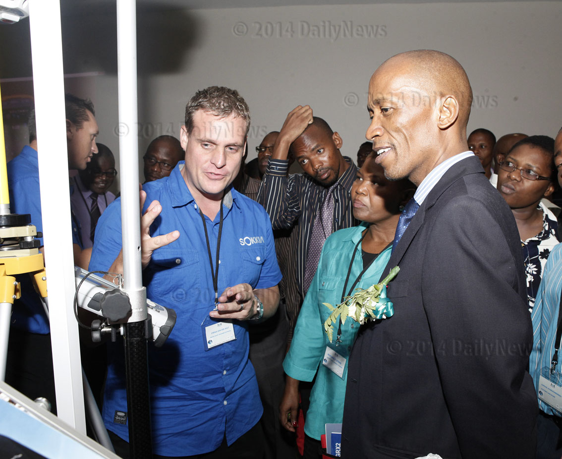
Officiating at the International Geo-information Conference on February 5, Mr Sebina said the Geographic Information Systems cluster (GIS), which was part of the e-government initiatives, provided the opportunity for coordination and integration of geo-information.
The three-day conference was a stimulus of economic growth and facilitator of good governance and also an enabler of more efficient natural resources and environmental management as well as disaster preparedness management.
Geo-information, he said, also provided the private sector with a dynamic tool to optimise their strategic planning, marketing, distribution and production of new and innovative products.
“Geo-information impacts on people’s lives. Today, the land boards through the Land Administration Procedures, Capacity and Systems (LAPCAS) project in Botswana are busy collecting spatial and attribute data to determine the ownership and availability of land for equitable distribution and proper management,” he added.
Furthermore, Mr Sebina said the Ministry of Lands and Housing had embarked on a national mapping programme and the construction of the continuous operating reference system, which were aimed at collecting national seamless base data.
He said the efficient management of this Geo-information through integrated systems would facilitate quality service delivery on allocation of land, collection of lease rentals, tax revenues, tourism, physical developments as well as assisting in making informed decisions.
“Using Geo-information as a driving tool has created knowledge based society. Statistics Botswana created databases integrating census data and geo-referenced information on villages and settlements to monitor and evaluate national initiatives such as; road networks, population census, drainage patterns, hill ranges, constituency and electoral wards,” he added.
These databases, lands and housing deputy permanent secretary said had been used to monitor and evaluate the poverty alleviation programme and its impact on remote area dwellers as well as directing future action
This information, he said had also been used by various government organisations to create early warning systems in areas of climate change, drought relief, poverty eradication, crime mapping to provide accurate projections for corrective action.
Information on land, Mr Sebina said provided a significant role in national development. Therefore, he said there was need for an up-to-date and easily accessible land and Geo-information. He also added that it was important to create an environment in which all stakeholders could be able to share the geospatial information. ENDS
Source : BOPA
Author : Lorato Gaofise
Location : GABORONE
Event : International Geo-information Conference
Date : 09 Feb 2014
Related News

11 May 2026
Boko attends France- Africa Summit

11 May 2026
Parliamentary oversight key to SOE efficiency

08 May 2026
MOGAE RESTS

07 May 2026