
Mokalake acts on land misallocation

01 Apr 2014
The Minister of Lands and Housing, Mr Lebonaamang Mokalake says the double land allocation in Borolong and Chadibe requires a committee from his ministry to investigate.
Mr Mokalake, who was addressing a kgotla meeting in Borolong on March 28, said though he tasked the Ngwato Land Board secretary to investigate the double allocations in the two villages, there was need for a committee from the ministry to look into the issue.
He said Ngwato Land Board tendency to double allocate plots was an issue of concern that needed to be investigated.
The minister’s comments followed concerns by Borolong residents that the 16 hectare plot that was initially earmarked and applied for by communities of Borolong, Chadibe, Makobo and Natale for the construction of the brigade was allocated to a different person without consulting the communities.
In his welcome remarks, Kgosi Israel Molema complained that even though it was resolved that Shongochena/Mpatane should form part of Borolong village the Department of Regional and Town Planning’s (DRTP) development plan had instead incorporated it in Chadibe.
He explained that the plan indicated that the boundary of Borolong village was Thalogang River, which left out Shongochena/Mpatane, whereas the actual boundary of Borolong village was the Railway line.
Kgosi Molema said due to the misperception all plot allocations in Shongochena/Mpatane were frozen because both the Tonota -Sub Land Board, which services Borolong, and the Marapong- Sub Land Board, which services Chadibe, claim the area was disputed.
In response, the Ngwato Land Board secretary, Mr Otsile Ditiro promised the residents that he would look for the resolution that demarcated Shongochena/Mpatane into Borolong village after which he would advise the two Sub- Land boards accordingly.
Earlier, the minister informed the residents that his ministry was in the process of surveying, measuring and confirming ownership of all plots through the Land Administration Procedures, Capacity and Systems project .
He explained that through the project problems such as those of double allocations would be avoided as every plot would be identifiable through Global Positioning System .
Mr Mokalake explained that problems of some people extending their plot markings after allocation would be easily avoided as every plot would be logged using coordinates.
He also informed the residents that his ministry would present a National Land Policy to parliament which would among other things, assist in managing the growing population demand for land as the number of plots that each individual could be allocated would be reduced. Ends
Source : BOPA
Author : Keamogetse Letsholo
Location : FRANCISTOWN
Event : Kgotla Meeting
Date : 01 Apr 2014
Related News

08 May 2026

07 May 2026
Kagame wraps visit with DTCB tour
07 May 2026
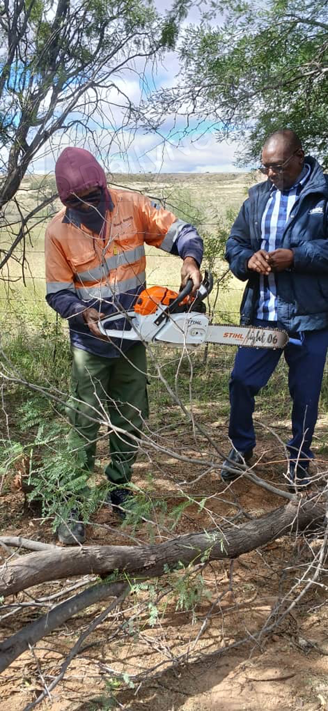
BURS donates nine chain saws
07 May 2026
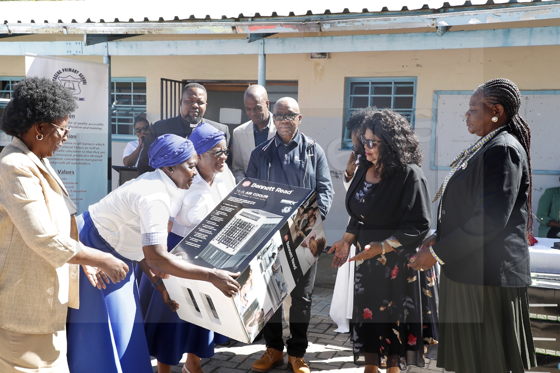
Donation boosts primary schools in Gaborone

07 May 2026