
Sedudu shooting Inquest

21 Nov 2021
A Judicial inquiry into the deaths of Martin Nchindo, Ernest Nchindo, Tommy Nchindo and Sinvula Munyene who were shoot by Botswana Defence Force anti-poaching unit
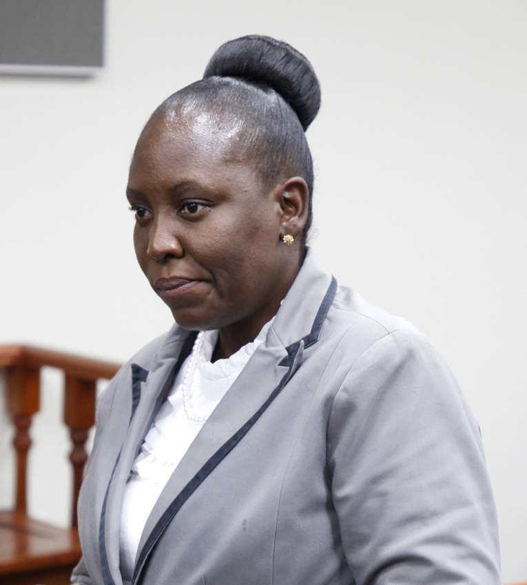
Witness number 14 – Ms Oabile Keogotsitse Ms Keogotsitse was a senior land surveyor with Chobe Land Board at the time of the incident, she said by way of introduction.
“On November 24 last year the Director of Surveys and Mapping, Mr Oitsile asked the land board to assist in collecting data for some points at an area that was referred to as ‘an incident area near Sedudu BDF camp’.”
Altogether four officers were assigned the task. As she outranked the others, Ms Oitsile automatically led the team. On November 25, the team went to Kasane Police where one Mr Fani provided the assignment brief before the officers could proceed to the site. Mr Fani and other police officers accompanied them, she told the inquiry.
The survey team started their assignment near point KRM50 next to TraveLodge, she said. “KRM50 is a known point used to determine unknown points,” explained Ms Keogotsitse, when deputy director of prosecutions, Mr Wesson Manchwe asked her why they started at KRM50.
From KRM50 her team and the two police officers proceeded to BDF Sedudu camp where BDF officers joined them. “On the way, the machine we were using - a Pentax G6NI- lost signal as it was a long range. My team established a temporary point to reset the machine and transfer the data from the KRM50,” she said.
Ms Keogotsitse explained the delegation proceeded to the area and Mr Fani informed the surveyors that the point to be surveyed was within the Chobe River in the water. “We did the survey using a boat operated by a BDF member and the boat stopped at four points that we labelled as ABCD”.
“What were you told about the points?” interjected Mr Manchwe once more. ‘We were only to pick the points and submit their coordinates to the director,” she responded.
She submitted the points to the Director of Surveys and Mapping through a savingram on the same day. On November 30 she received four documents, namely a savingram, a list of coordinates and two maps, all A4 size, from the director of Surveys of Mapping for onward submission to Mr Fani. At this point Mr Manchwe submitted the as exhibits. Upon receiving them the Regional Magistrate, Ms Taboka Mopipi asked why the savingram was not signed.
In response the witness said she received it through e-mail and did not ask why it was unsigned. She explained that Map 1 depicted Sedudu Island with a red dot and according to the key of the map the red dot was the incident scene. She further said the map was printed and published by the Department of Surveys and Mapping.
Mr Manchwe prodded further, wanting the surveyor to provide an expert statement on where the map showed the incident to have happened. “As a surveyor, the incident took place on the Botswana side,” said Ms Keogotsitse. “Where exactly?” asked the regional magistrate “Along the river,” she said.
“Are you aware of what the incident referred to was?” asked Mr Sinvula Mudabeti, who, it turns out is a member of a Namibian pressure group Namibian Lives Matter. “Like I said before, when mapping the points we were not told what the incident was.
I was just reading the map and referring to incident scene as marked on the map,” responded Ms Keogotsitse. “You did the survey and somebody else generated the map. Is it the standard operating procedure for surveyors?” asked Mr Mudabeti.
“Yes sir it is the right procedure because in Botswana the Department of Surveys and Mapping is responsible for International boundaries and as a surveyor I was only assigned to collect coordinates and submit to the director,” she answered.
“Do you have specific coordinates for the incidents?” asked Mr Mudabeti “I said to this court that four coordinates for the scene were provided together with the savingram,” answered the witness who appeared somewhat piqued by Mudabeti’s questioning of what she had already stated.
Magistrate Mopipi asked if the map reflected the distance between the incident location and the International boundary, to which question Ms Keogotsitse responded in the negative. Witness number 15 – Mr
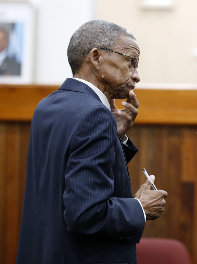
Moses Kgwatalala Next in the witness box was Department of Surveys and Mapping chief surveyor in the Surveys Division, Mr Moses Kgwatalala.
He explained the department was the custodian of surveying and mapping data in Botswana, “Some time in November last year my division received a request from the Botswana Police through the Regional Surveys office in Francistown to establish some coordinates.
Since we do not have an office in Chobe we sought assistance from the Chobe land board. Upon receipt of data from the Chobe land Board I delegated one Mr Kabelo Kgari from my division to produce a map that depicted the data received in relation to the international boundary.
Since the survey was done in Cape datum and the boundary maps of coordinates are in World Geodetic System of 1984 (WGS84) we had to transform the data from the Cape Datum to WGS84 to have the same platform,” he explained.
Mr Manchwe asked him if he was able to tell from the map where the incident took place. “I am definitely confident that the incident occurred on the Botswana side.
The relationship between the incident location and the river banks clearly indicates that it happened in Botswana,” answered Mr Kgwatalala. “Were you part of the Joint Experts Technical Committee of Botswana and Namibia in 2002?” asked Mr Mudabeti.
“No I was not,” responded Mr Kgwatatala “In your professional judgment are the maps a product of the Boundary Treaty of 2018?” asked Mudabeti once more.
“I am not aware,” answered Mr Kgwatatala Witness number 16 Mr Kabelo Kgari Mr Kgari confirmed to the inquiry that sometime last year Mr Kgwatalala assigned him to create a map that would show the international boundary of Botswana and Namibia.
He explained his office had satellite imagery, and he used ArcGIS software to plot the coordinates received from Chobe Land Board. However he first had to convert the coordinates from Cape datum to WGS84 so they could over-link with 2020 satellite image that he had in his office.
He was also able to come up with the maps that were earlier shown to the court as exhibits. Just like the previous two surveyors, Mr Kgari confidently told the court that the incident happened in Botswana. As has now become the norm, Mr Mudabeti had a question: “In the line of your work has there ever been an instance where maps do not agree with coordinates?” Mr Kgari’s answer was in the negative.
“If the Namibians surveyors are given the same coordinates as yours to produce a map are they going to come up with a similar map?” asked Mr Mudabeti “I am confident that if they work on the same platform they will,” he responded.
“Why didn’t you use already existing coordinates and had to assign someone to come up with coordinates?” asked Mr Mudabeti “The coordinates were specifically for the incident scene and not for the Botswana/Namibia international border,” answered Mr Kgari.
Witness number 17 – Mr Matshelo Makhondo The last witness for the day was Department of Wild Life and National Parks (DWNP) regional officer, Mr Matshelo Makhondo who told the court that his duty was to coordinate the functions of the DWNP as prescribed by the Wildlife Conservation and National Parks Act and other relevant instruments. DPP Deputy Director Mr Kabo Leinaeng asked him to shed light on laws governing entry and exit of the National Parks.
“To enter a park a person will need authorisation from wildlife office in the form of park entrance permit, pay applicable fees and abide by the opening and closing times of the park,” he quoted from the Wildlife Conservation and National Parks Act.
“So a person who enters Chobe National park without such a permit will be doing so unlawfully or illegally…and please go to the sections on opening and closing times of the park and tell the court what is provided therein,” requested Mr Leinaeng.
In response, Mr Makhondo said from April 1 to September 30 the opening times for the park were 6am-630pm whilst from October 1-March 31 operating times were 530am-7pm.
“Would you say any person entering from November after the stipulated times will be doing so illegally? Please let’s move to fishing regulations and explain to the court what is explained therein concerning the Chobe National Park in particular,” suggested Mr Leinaeng.
Mr Makhondo said according to the 2008 Fish Protection Regulation 3, fishing was not allowed in the national parks and game reserves, while a person entering the park after the stated times without any special reasons would be doing so illegally.
Answering a further prompt from Mr Leinaeng, Mr Makhondo explained that Chobe River formed part of the boundary of the Chobe National Park. Before adjournment of the enquiry, one of the three prosecutors, assistant director, Ms Thato Dibeela informed the inquiry of the team’s intention to call 13 additional witnesses.
She said among the 13 witnesses, two would be residents of Namibia. Initially when the matter was registered with the Kasane Magistrate on September 22, the prosecution had anticipated calling 22 witnesses. With the additional 13 it means the prosecution will now call all a total of 35 witnesses. ENDS
Source : BOPA
Author : Keamogetse Letsholo and Mooketsi Mojalemotho
Location : KASANE
Event : Inquest
Date : 21 Nov 2021
Related News

27 Jul 2026
27 Jul 2026
Namibian fined P5000
27 Jul 2026
Botlhoko threatens victims in court
24 Jul 2026
Cross border smuggling casts shadow over Tshokwe
22 Jul 2026
Kebonye in custody for murder
16 Jul 2026