
Mosu topographic survey complete
18 Jun 2013
A topographic survey of Mosu has been finalised while the land rehabilitation plan that would help address the problem of soil erosion in the area is almost complete.
Minister of Lands and Housing, Mr Lebonaamang Mokalake said when launching a project facilitated by the Department of Forestry and Range Resources (DFRR) in Mosu on June 17. He said soil in Mosu was susceptible to degradation due to step slopes, overgrazing, livestock tracks, poor ground cover and sand mining.
Mr Mokalake said it had been found that sodic soils were characterised by loose top soil, which was easily eroded and subsoil hard pan with poor infiltration and as such increasing the rate of runoff.
He said the ground cover was poor and the top soil was prone to erosion due to lack of protection against splash effect of downpours and accelerated runoff. The minister said the rehabilitation project had received an initial funding of P432 000 from Forest Conservation Botswana (FCB) in 2011.
Because of the extent of the damage and the sensitivity of the area towards erosion, Minister Mokalake said the scope of the project would be expanded to cover the whole water basin from upland to low land.
Mosu is surrounded by hills and as such susceptible to flooding from the high speed water flowing from the hills. The situation also led to the development of deep streams, which were constantly widening, thus putting the land occupied by residents and other development projects at risk of being washed away.
An official from DFRR, Mr Johannes Seema said land rehabilitation works in Mosu started in the 1980s by the Ministry of Agriculture soil conservation section. Structures constructed by then were not maintained resulting in their poor performance, he added.
He said a fence erected as part of the project was also vandalised due to lack of ownership from the community. The FCB, he said, funded the reclamation works through Mosu VDC but due to the extent of the damage and sensitivity, the scope of the project changed from attending the visible damaged area to a wide perspective which covered the whole water basin.
Mr Seema said the propose solution was to reduce the velocity of water upland by constructing small damages, vegetating the area with perennial grasses and other indigenous plant species.
He further said the proposed project would include construction of stone lines across the hill, leveling of high land eroded areas and construction of water channel diversions. ENDS
Source : BOPA
Author : Moshe Galeragwe
Location : LELTHAKANE
Event : land rehabilitation
Date : 18 Jun 2013
Related News


18 Jun 2026
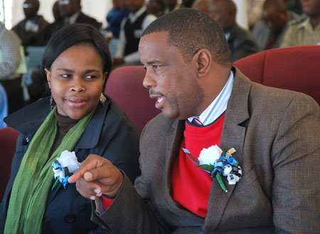
Commission targets youth empowerment

18 Jun 2026
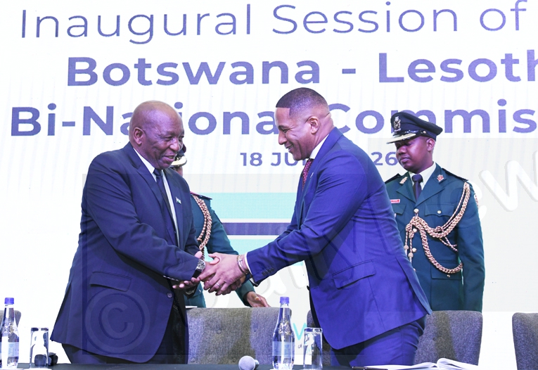
Countries commit to partnership
18 Jun 2026
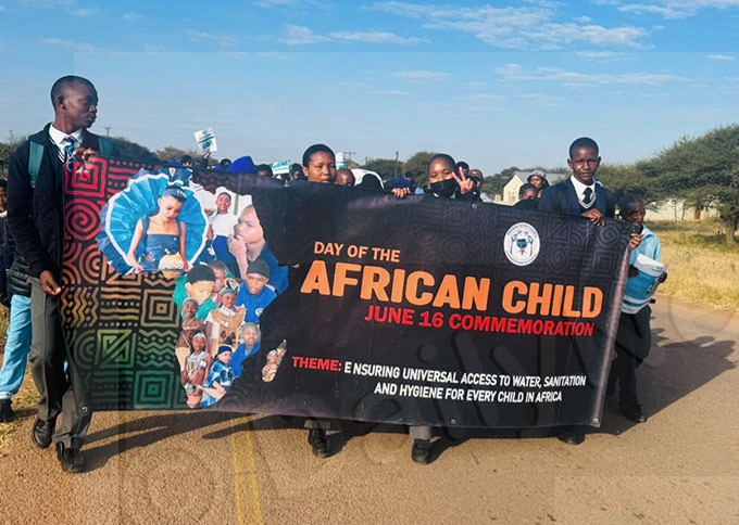
Learners commemorate Day of the African Child
18 Jun 2026
LESABO project to address water scarcity
18 Jun 2026